We walked straight out from Widecombe Cottage, heading north through Widecombe on The Moor before taking a left turn off the Ponsworthy Road shortly after leaving the village. At the end of the road, we reached the footpath to, and subsequently the boundary of the higher moor of Hamel Down.
The route across Hamel Down is a section of the Two Moors Way which follows the humpback ridge, and takes you past a wealth of archaeological features as it heads solidly towards Grimspound and Hookney Tor beyond.
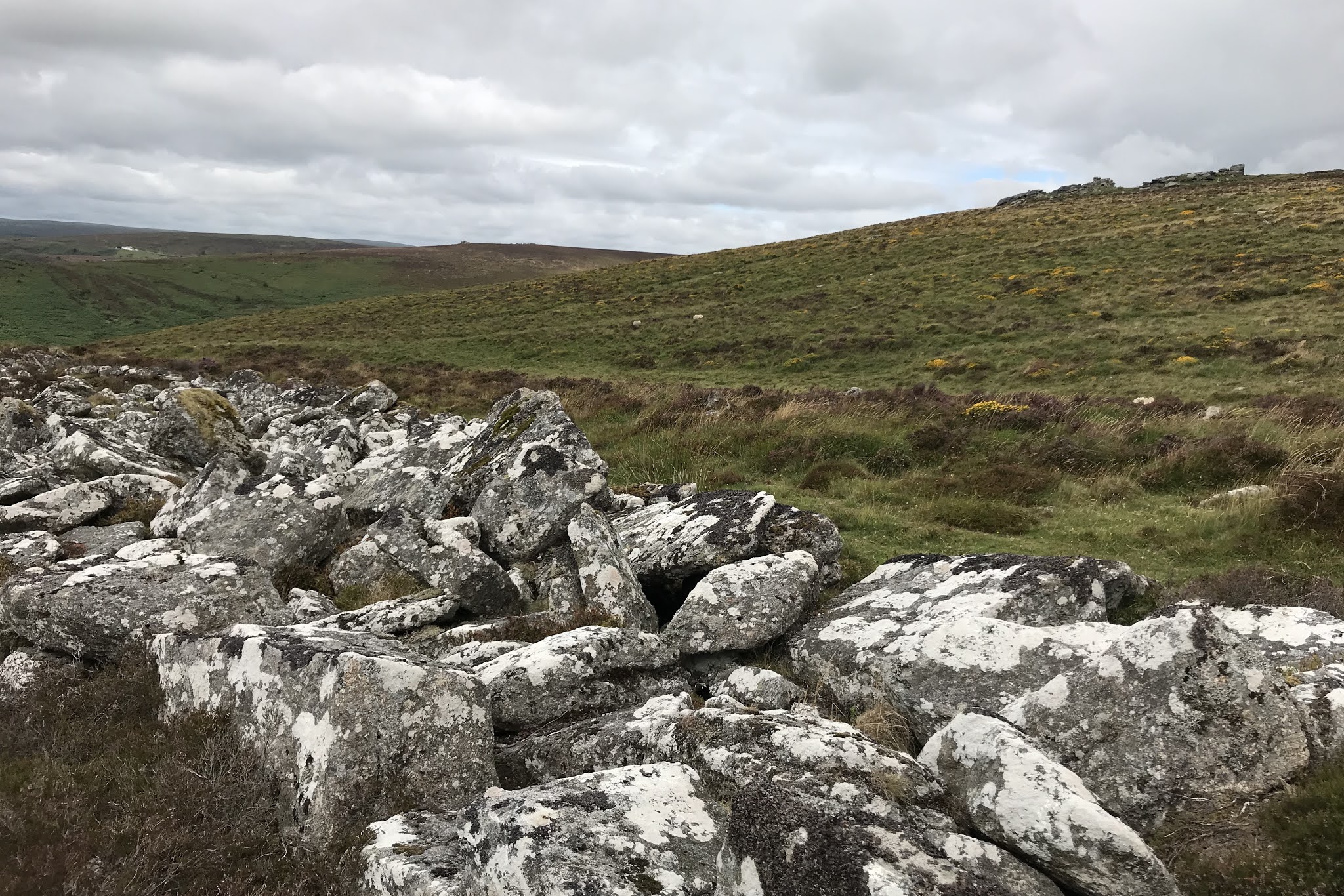
Our first distraction from the panoramic views, came in the form of a ruined barrow, almost overlooked if it hadn't had a few low stones set about it's perimeter. The cist within however was very obvious, and made us wonder why the feature did not appear on the OS map we carried?
 |
| "unmarked" barrow and cist |
 |
| "unmarked" cist |
Later, in the week I was to find a reference to the unmarked cist and barrow, in W.D. Lethbridge's "Discover Prehistoric Dartmoor A Walker's Guide To The Moorlands Ancient Monuments" (2015) which I purchased from the National Trust shop in Widecombe on the Moor. This excellent book also put us onto the stunning sequence of stone rows and monuments at Shovel Down! Of the unmarked cist on Hamel Down, Lethbridge surmises that it must have originally had two capstones, where only one is present now.
Continuing, we arrived at Hamel Down Beacon, closely followed by Two Barrows, Single Barrow and Broad Barrow. Newman (2011) tells us these barrows form part of a cairn alignment comprising 13 separate cairns upon Hamel Down; referring to this alignment as demonstrating that the “Cairn chronology and locations suggest – [they were] established over generations, Combining tradition of [a] communities association with a place, links with spiritual presence of ancestors, funerary arrangements, territory and place”.
 |
| Hamel Down Beacon |
 |
| Two Barrows |
 |
| Single Barrow |
Newman (2011) citing the 1892 excavation of Two Barrows suggests the cairn as probably having a phased sequence of separate constructions over an extended period of time, being a mound containing both a stone ring and central cairn. Of Broad Barrow he describes it as one of the largest cairns on Dartmoor being over 50m in diameter.
 |
| Broad Barrow |
En route to Broad Barrow we were intrigued by a series of timber posts which stretched in a line across the down. We wondered if they might be way markers or snow poles? Or some kind of boundary marker. The post we inspected was very rotted through and chock full of interesting lichen and mosses. As it turns out the posts are the remnants of WWII anti-glider defences, the moors having been identified as a possible landing stage for German airborne invasion (Newman 2011).
 |
| WWII anti-glider post |
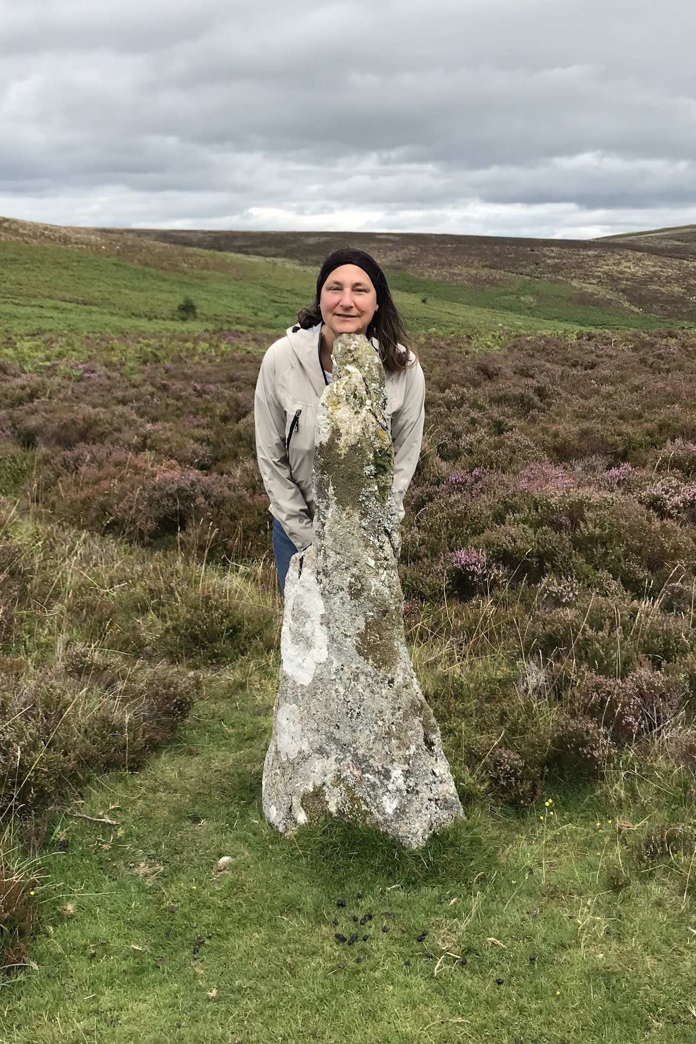
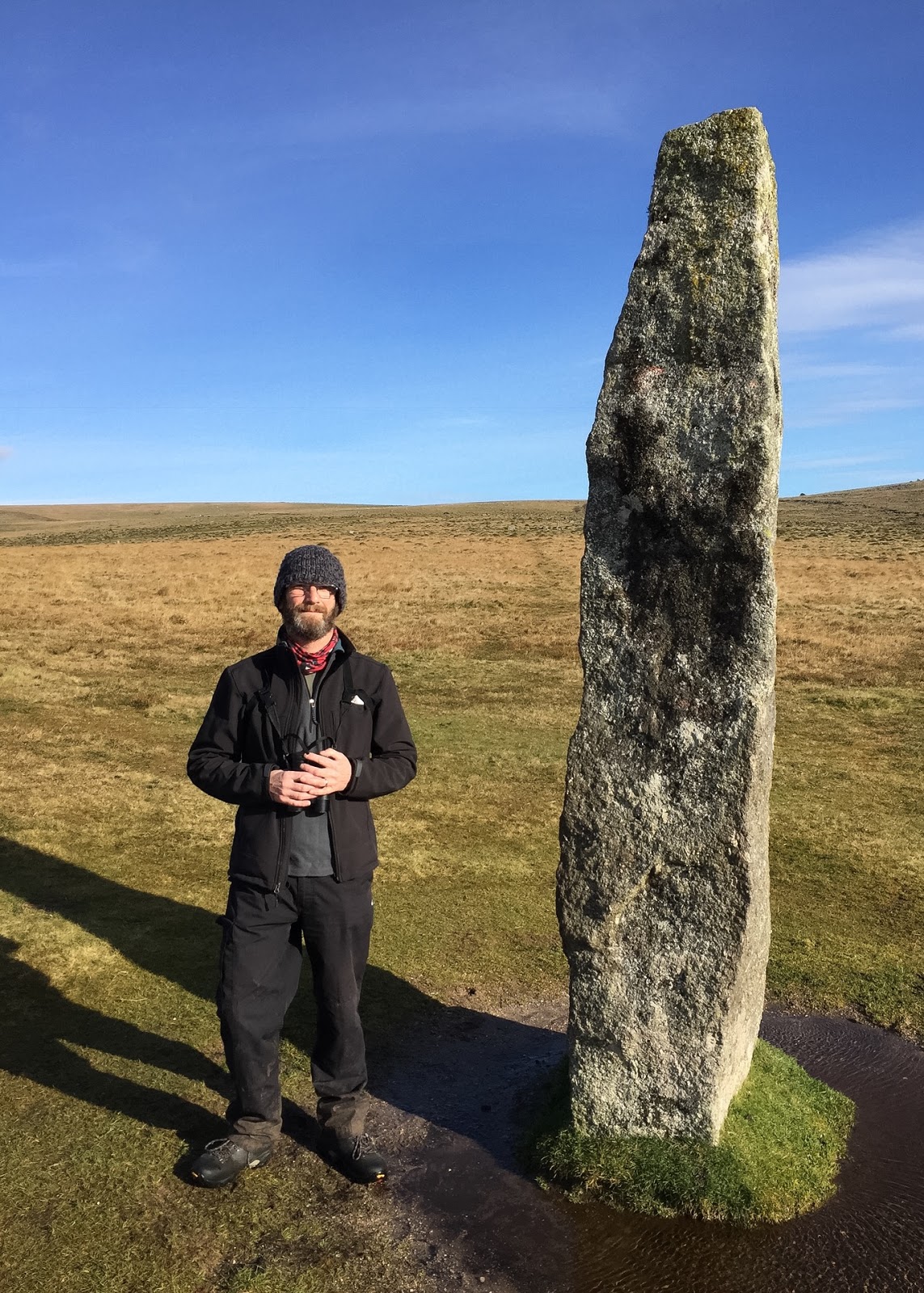
Taking a westerly diversion from the path, the remains of a mediaeval wayside cross marks the boundary of a 19th Century estate belonging to the Duke of Somerset (Historic England 2017). The cross is decrepit comprising of only the upright and a single arm, the head and other arm being broken. The Historic England listing for this monument reports that damaged wayside crosses “bear marks of damage and destruction because they underwent the wrath of iconoclasts during periods of religious turmoil, and in this sense the damaged cross bears witness to such turbulent times, the evidence of which is clearly apparent” (Historic England 2017).
 |
| Mediaeval Cross (Remains of) |
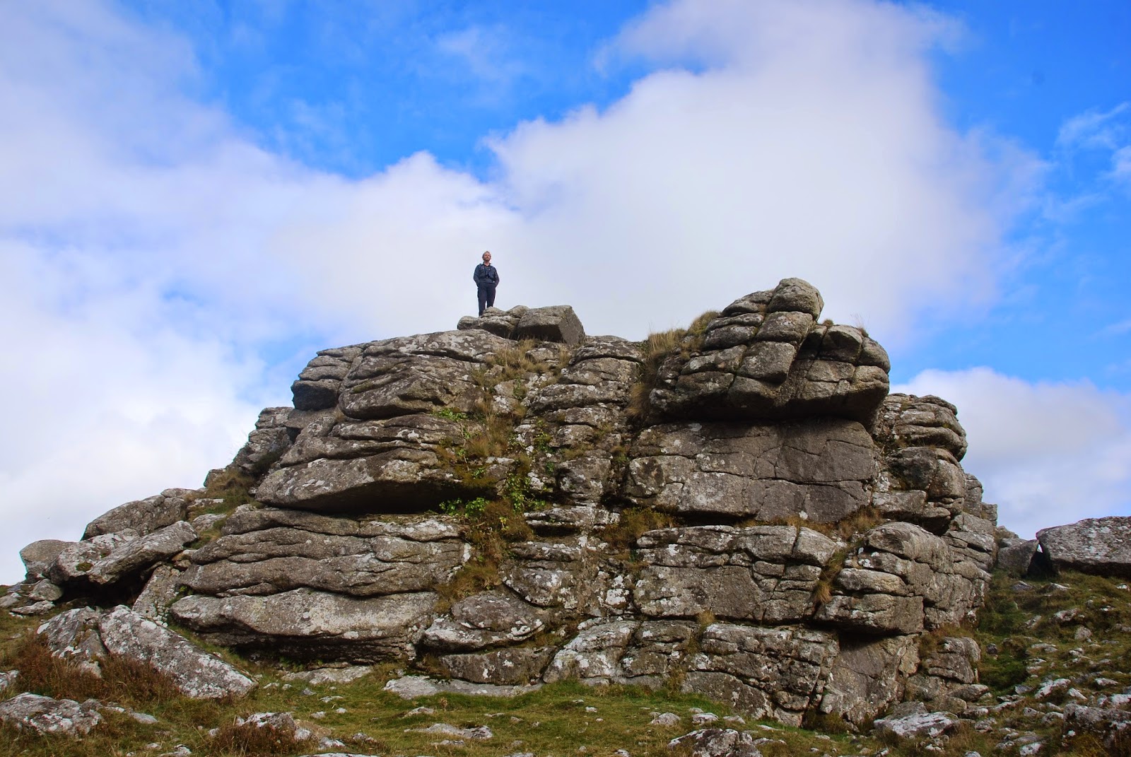
Returning to the Two Moors Way we proceeded to Hamel Down Tor, and then shortly after arrived at Grimspound.
 |
| Hamel Down Tor |
 |
| Grimspound - towards Hookney Tor |
Bibliography
Historic England (2017) [Online]
Hamel Down Cross https://www.historicengland.org.uk/listing/the-list/list-entry/1004576
Lethbridge, W.D. (2015)
Discover Prehistoric Dartmoor A Walker's Guide To The Moorland's Ancient Monuments Halsgrove, Somerset
Newman, P. (2011)
The Field Archaeology of Dartmoor English Heritage, Swindon