Showing posts with label stone row. Show all posts

Saturday, 20 May 2023

Stone Circles, and Stone Rows .. Yellowmead, Dartmoor pt. 1

We started out from Yellowmead Farm at 10:50AM crossed the fields to Yellowmead Stone Circle, following the field boundaries - as per the instructions in our cottage's welcome pack.

The stone complex as recorded on the OS map reads “Cairn Circles” (OS Explorer OL28). However, the description is of a fourfold stone circle (four concentric stone circles) in "The Field Archaeology of Dartmoor" belonging to the Early Bronze Age (Newman, P. 2011).

The circles do surround a central cairn (Historic England 2023) although this was not obvious, and I had to intuitively sense its placement rather than see it in situ. Any raised ground indicating the presence of a central cairn being slight enough to suggest natural topography.

four concentric stone circles

central stone circle surrounding a cairn

To the immediate southwest the remains of a double stone row are visible. This site reminded us in part of Shovel Down, which also boasts a double stone row terminating at a four concentric stone circles. Whilst the latter fourfold circle is just half the diameter of Yellowmead (Thurlow, G. 2001) the combined stone settings at Shovel Down is landscape scale compared to the remains at Yellowmead.

William Lethbridge (2015) indicates that the Yellowmead Circles, differs today from the earliest description of the site made by R. H. Worth of the Dartmoor Exploration Committee [DEC]. The committee surveyed and produced literature between 1893 - 1906 (DartmoorCam 2023). In the DEC report the circles comprised of 104 stones – now 106; and with six stone placements at right angles to the circles which have since disappeared, along with two of the stones of the double stone row (Thurlow, G. 2001).

double stone row detail

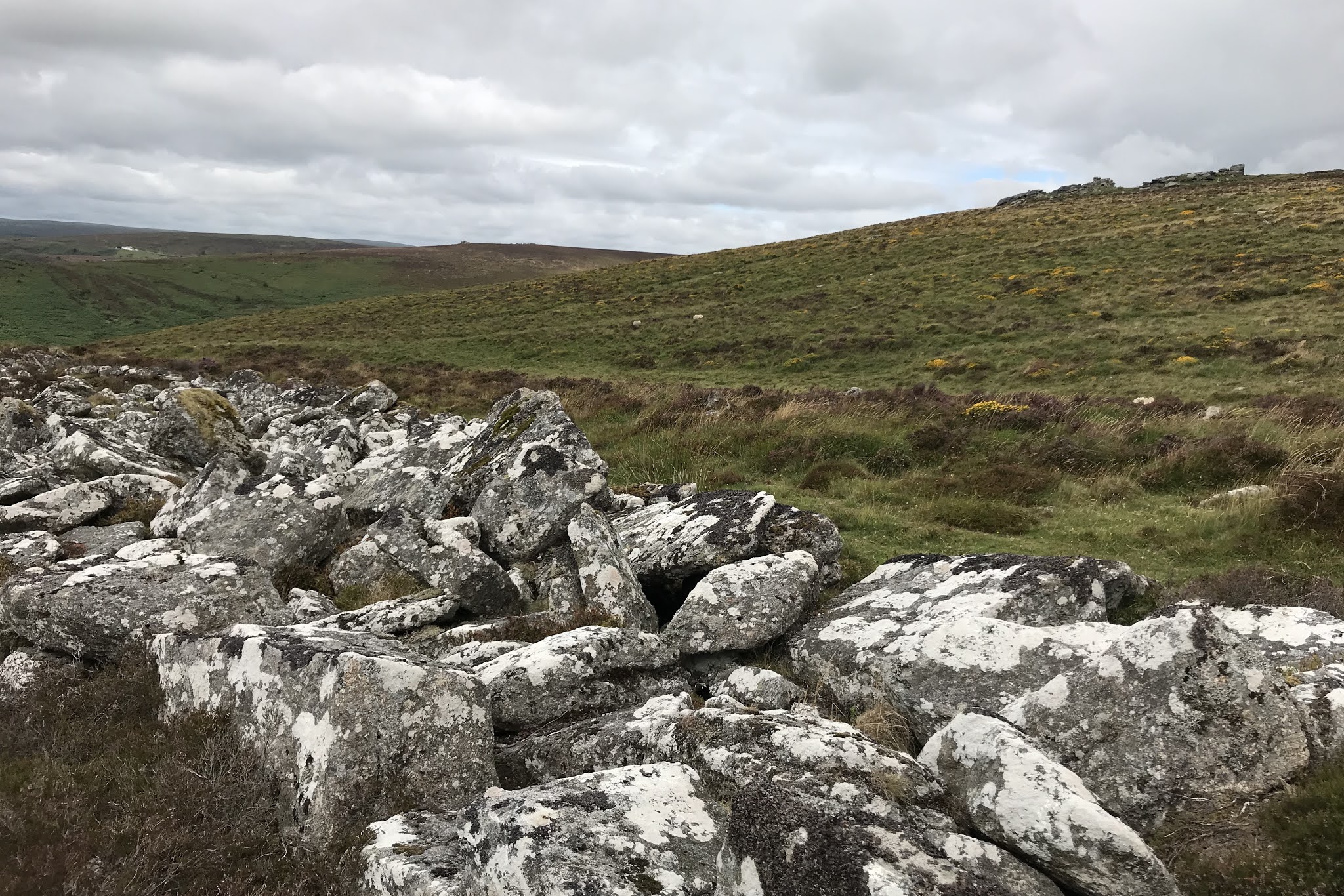
Leaving Yellowmead behind us, we headed south, and explored the numerous cairns at the base of Gutter Tor, looking for, but failing to find the Cist.
one of several cairns
at the base of Gutter Tor

Gutter Tor

Ascending Gutter Tor I found the natural rock basins in the summit rocks.

natural rock basins, Gutter Tor

After lunch, we set a compass bearing for the remains of a farmstead on Ringmoor Down. From the farmstead, we planned to follow the field boundaries anti-clockwise to avoid crossing Legis Mire on our way to the local stone row. However, after scanning a distant anomaly with the binoculars – I noted a single standing stone – so we decided to head straight for that instead.

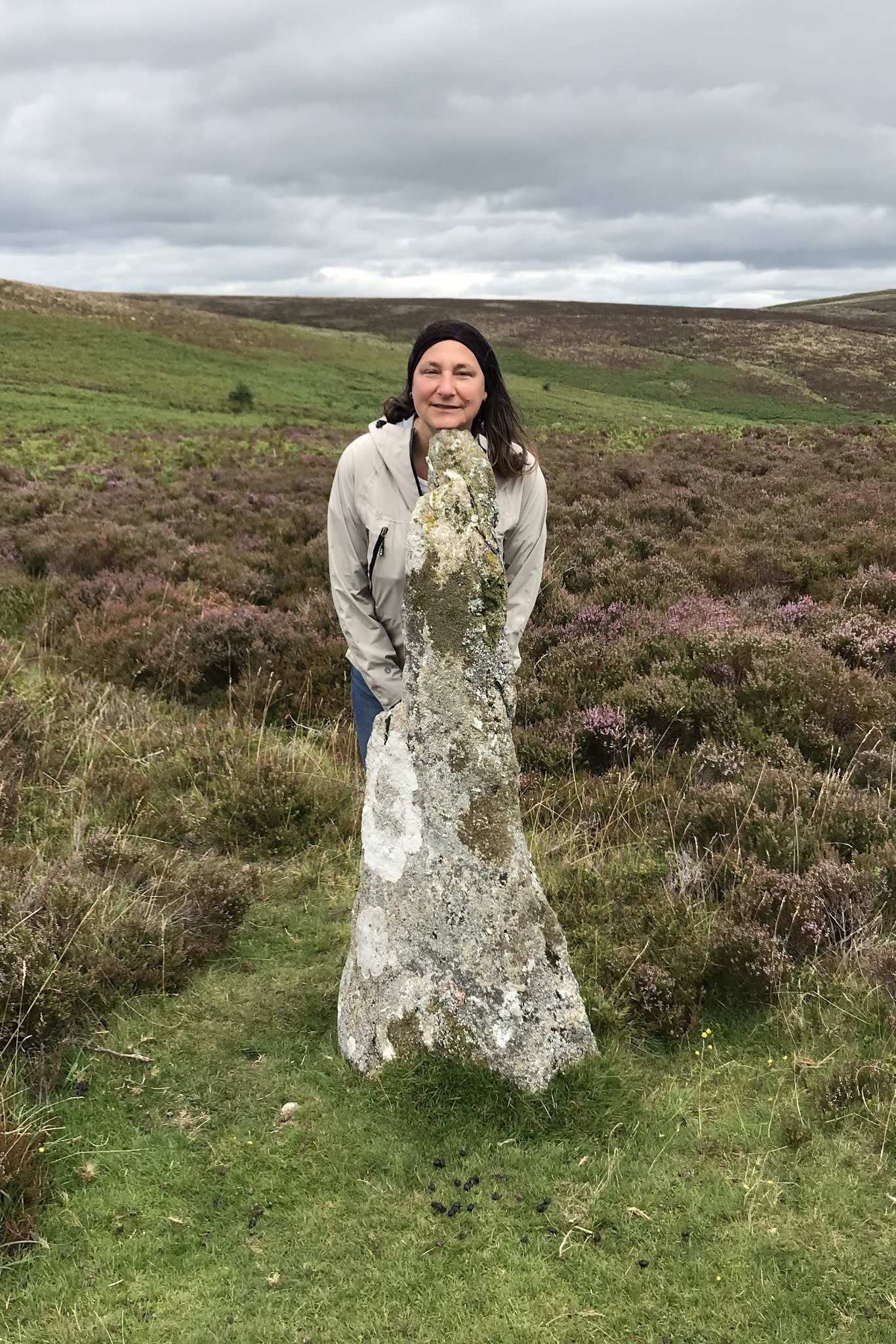
"that looks like a standing stone over there .. 
.. although it could just turn out to be a cattle rubbing post?"

Crossing Legis Mire we found it was not as wet under foot as anticipated. The standing stone turned out to be in the northern end of the sought-after stone row alignment, and we followed the row south and uphill to the cairn circle which was set at its terminus. As we ascended the stone row in places became a double stone row (Lethbridge, W. D. 2015).


heading south (and uphill) along the stone row

Evidence that it may have originally been a double stone row?
after Lethbridge (2015) 

And on to the terminal cairn

Newman (2011) indicates that although there is a lack of precision in dating the stone rows of Dartmoor, it is most probable that they belong to the late Neolithic / early Bronze Age periods. Particularly with respect to those rows, such as at Brisworthy which are strongly associated with cairns, and often with burial remains. See also below for the stone complex at Merrivale (Blogs passim).

At this point, in our walk, we had to concede that we had both come out ill-prepared for the dry heat and clear sunny skies that the day provided. We had forgotten to bring sunblock, underestimated our water requirements, and along with the prolonged exposure on the open moor, we were starting to feel overheated and sunburnt. As such we decided to head back north, rather than extend the walk south to the Brisworthy Stone Circle, but not before we had located the bijou stone circle to the southwest. Lethbridge (2015) suggests that this small circle has had several stones added in more recent times.

Our return journey took longer than we had hoped given how hot and tired we both were by mid-afternoon. The higher moor to the east of Yellowmead Farm’s field boundaries was heavily waterlogged and we could not find and refollow the outward route. After a significant detour, we reached the Farm at 15:30 PM. Over our day’s walk we had covered 10.5KM but with the exposure on the moor it had felt a lot further!

Accommodation

The Meeting House, Yellowmead Farm

Bibilography

DartmoorCAM (2023) [Online] Dartmoor Expedition Committee
https://www.dartmoorcam.co.uk/CAM/DartmoorExplorationCommittee/DEC.htm Accessed 29th October 2023

Historic England (2023) [Online] Yellowmead stone circles, cairn and stone alignment
https://historicengland.org.uk/listing/the-list/list-entry/1010212?section=official-list-entry Accessed 29th October 2023

Lethbridge, W.D. (2015) Discover Prehistoric Dartmoor, A Walkers Guide to the Moorland's Ancient Monuments Halsgrove, Somerset

Newman, P. (2011) The Field Archaeology of Dartmoor English Heritage Swindon

Ordnance Survey Dartmoor Showing part of the National Park Map OS Explorer OL28 1:25,000 scale

Thurlow, G. (2001) Revised Edition Thurlow's Dartmoor Companion Peninsula Press, Newton Abbott, Devon

Thursday, 6 August 2020

Cairns, cists and stone rows .. Bellevor Tor environs .. Dartmoor pt 3

On the wettest day of our trip, we caught up with A & Z for a socially distanced exploration of the monuments of Lakehead Hill & Bellevor Tor.

Cairn and cist detail

Cairn detail

Stone row

This cairn, cist and stone row setting was simply beautiful, even more so for its unexpected "reveal", appearing within a small glade as you walked down a short forest track. I found it difficult to leave and took too many photographs, instead of simply spending time within it. A new site for a future pilgrimage.

In complete contrast the next cairn we viewed was with the most unwelcoming of monuments I have ever encountered. In response to my usual silent greeting to ancestors and request for permission to enter the circle of kerb stones - I felt the strangest of pressures on my chest - pushing against me to move away from the site. This sensation was new to me, and I heeded the discomfort and did not enter.

An unwelcoming cairn
Not wishing to spend anymore time with the unwelcoming cairn, I headed off quickly to track down a solitary cist, its cairn lost long ago below the woodland edge. Then on to Kraps Ring settlement - whose scale defied any meaningful photography - having walked the perimeter - we settled for lunch on the stones of a presumed hut circle.

Heading South we passed beneath the mist clad Bellevor Tor, and beyond to Laughter Tor. From the the summit of Laughter Tor - we picked up the line to follow to get to the single standing stone positioned at the upper end of a double stone row. The stone rows ran approx south-south-east before ending abruptly at a more modern field boundary. A little below the field boundary we found a second double stone row, which appeared to follow the first on the same bearing, and thus possibly belonged to the same monument?


Standing stone (looking South)

Double stone row - looking South towards field boundary
Double stone row - looking north towards
field boundary and standing stone beyond

Wednesday, 8 October 2014

Leskernick stone circles and stone row; and that flock of plover again?

Heading out towards Leskernick Hill along the minor road to Westmoorgate, we were caught up in a torrential downpour, which quickly turned to numbing hail pouring in from the west. The hail stopped us in our tracks, and we turned our backs towards it, taking cover behind a low stone wall.

When the hail stopped we continued through the Westmoorgate and followed the sunken moorland track out on to the open moor, picking up a small stone-made track that headed to Leskernick Farm. As we drew closer to the hill we disturbed a large flock of golden plover (Pluvialis apricaria) foraging trackside - 200-300 hundred birds who rose as one, circled about us momentarily before flying south over Hendra Downs. Given our close proximity to Rough Tor and Brown Willy we couldn't help but wonder if this was the same flock that we had flushed the day previously?

Leskernick Hill contains a large Bronze Age settlement, and adjacent to it a ritual alignment of two stone circles, cairns and a single stone row (Online: Cornwall's Archaeological Heritage 2009) - the latter only one of eight stone rows currently known to Bodmin (Herring P. and Rose P. 2001).

on to the Moor, from Westmoorgate
flock of golden plover, trackside

Having found the first stone circle, with its distinctive central whale back stone, we then struggled to find the nearest end of the stone row. Fishing around in the general area of a small group of what I believed were placed stones. I quickly became frustrated, and decided to follow a hunch headed east across the tinner's stream, and returned to a single stone setting I had accidentally stumbled upon earlier. arely any of this stone was visible, being all but buried in the peat. Assuming this to be part of the row, I then quickly found another stone, and then a third in alignment to them both.

In the meantime, Alison applying the scientific methodology, followed a compass bearing from the stone circle and found a further stone placed on the western side of the tinner's stream. Walking back towards her, I was then able to identify at least seven (probably eight) of the stone placements in the stone row all of which were almost entirely concealed in the ground. This felt like an achievement until a later reading of the Access to Monuments website suggested that there were actually 27 stones up for grabs! The website also suggested strongly that my "placed stones" - were probably part of a cairn that was set within the alignment of the two stone circles. So I guess its all about the research!

stone circle immediately below Leskernick settlement


whale back central stone


Moving on from the stone row we took another bearing, heading south and east - and successfully found the second stone circle.


stone row (partial details)

stone circle (panorama in changing light)


Bibliography

Access to Monuments - Leskernick Hill. [Online], Cornwall's Archaeological Heritage, 2009

Available at:

http://www.historic-cornwall.org.uk/a2m/bronze_age/hc_settlement/leskernick/leskernick.htm

Herring, P. & Rose, P. 2001, Bodmin Moor's Archaeological Heritage, Cornwall Archaeological Unit, Cornwall County Council